Key Facts
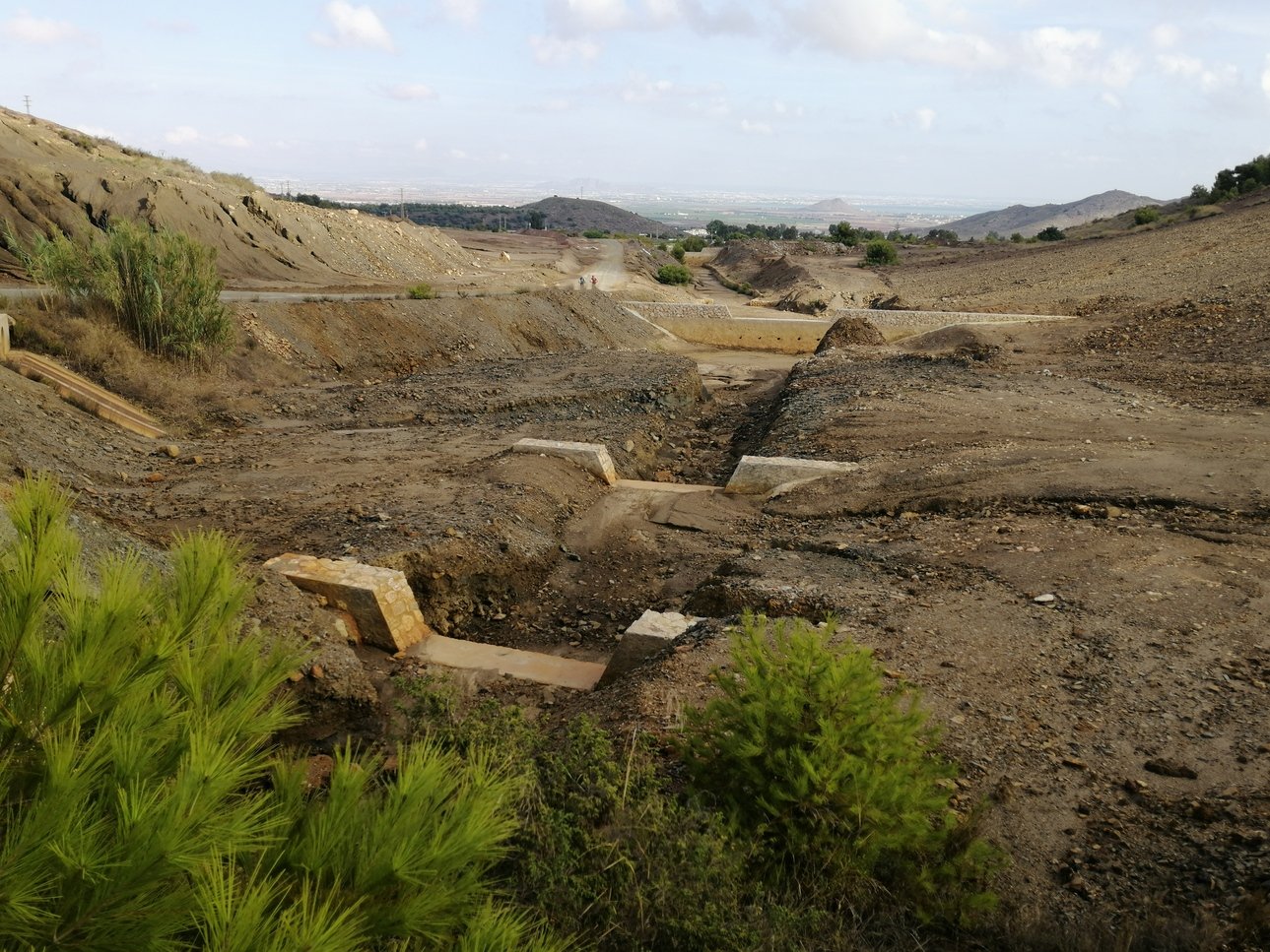
The former metal mining district of La Unión-Sierra de Cartagena is located in SE Spain (Cartagena, Murcia Region) and is characterized by a Mediterranean semiarid climate (mean annual temperature ≈17 °C, mean annual precipitation ≈200-300 mm and mean annual evapotranspiration rate ≈850 mm). The area is low-lying (< 400 m) but with steep slopes. The territory has a long history of mining exploitation since Roman times, but it was during the second half of the 20th century that the impacts of the mining activity became more intense. Between 1950s and 1991, when the activity ceased, huge amounts of metal ores were processed leading to the production of thousands of millions of tons of mine wastes. Most of these wastes were abandoned with the end of the mining activity. Scarce attempts have been made to restore the area becoming a source of metals and metalloids to the surrounding areas due to water and/or wind erosion.

Abandoned agricultural areas/forest areas/peri-urban areas

Metals & Metalloids
Soil, water & air
Process
Metals biogeochemistry in the soil. Wind erosion and atmospheric transport and deposition of dust polluted by metals. Hydrological transportation of metals by water erosion, runoff, and infiltration into soils.
Actions and expected results
- Action: Field measurements of metal concentrations in soils and eroded sediments.
- Result: Better understanding of metal transport dynamics in polluted areas.
Challenges
Obtaining the right data (erosion rates) to feed the erosion models.
Partners involved